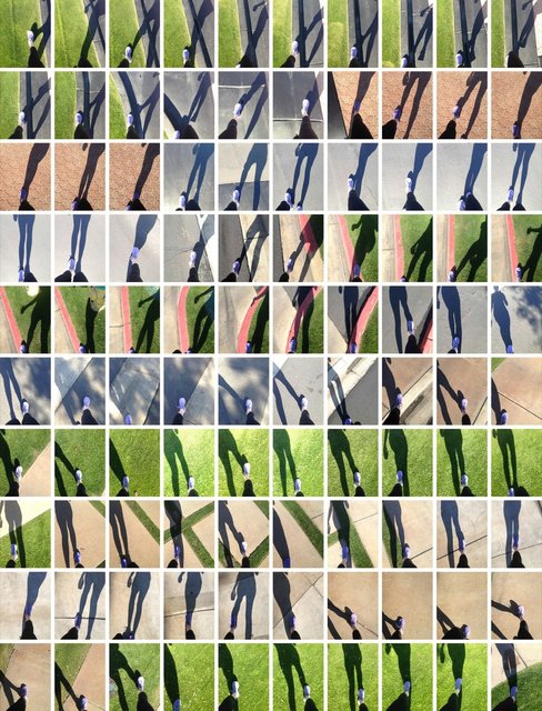
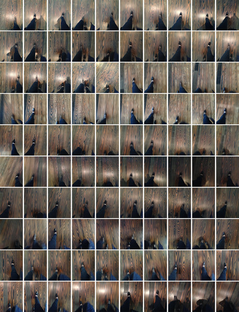
Walks
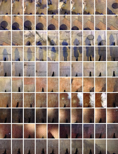
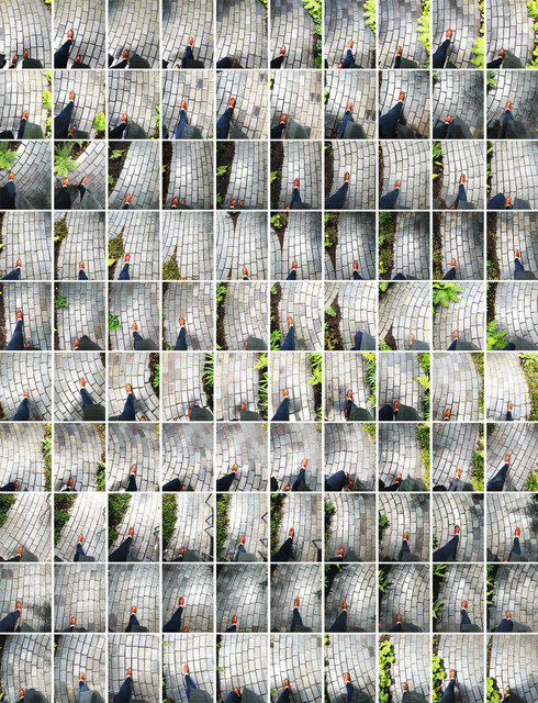
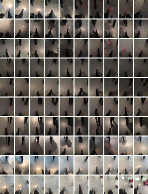
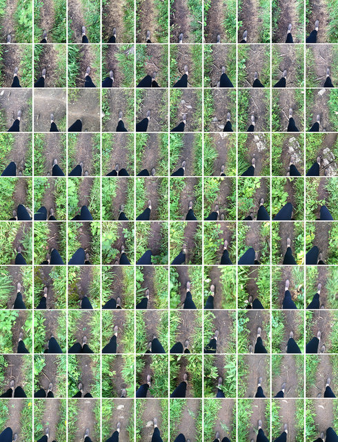
1. Walk 2/3/14 Division Street, Chicago (5:29:54-5:30:53pm)
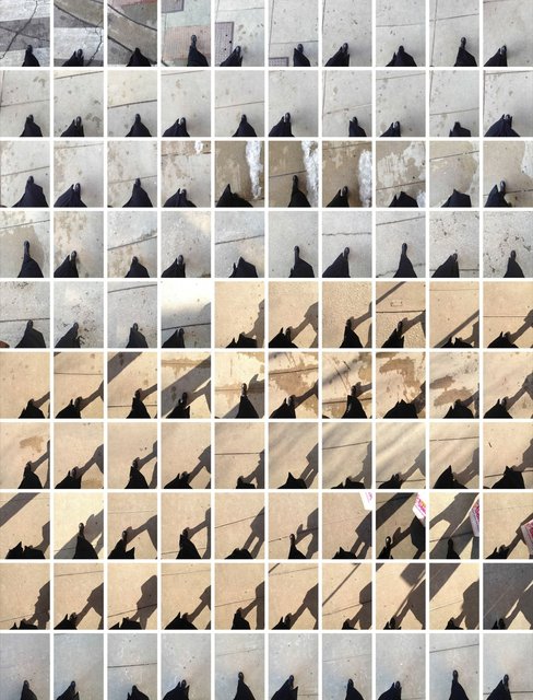
2. Walk 2/25/13 Division Street, Dunkin Donuts, Chicago (3:00:31-3:01:27pm)
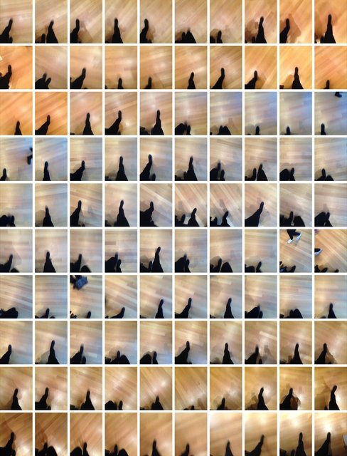
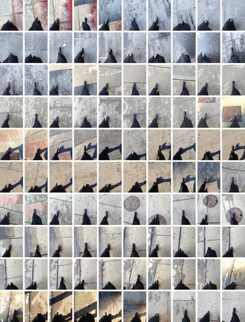
3. Walk 2/6/14 MoMA, New York (3:54:44-3:55:49pm)
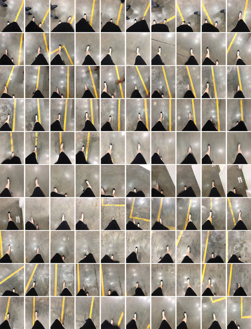
4. Walk 3/22/14 Winter Street Studios, Houston (6:40:27-6:41:35pm)
5. Walk 6/14/14 Isabella Stewart Gardner Museum Garden, Boston (12:28:53-12:31:34pm)
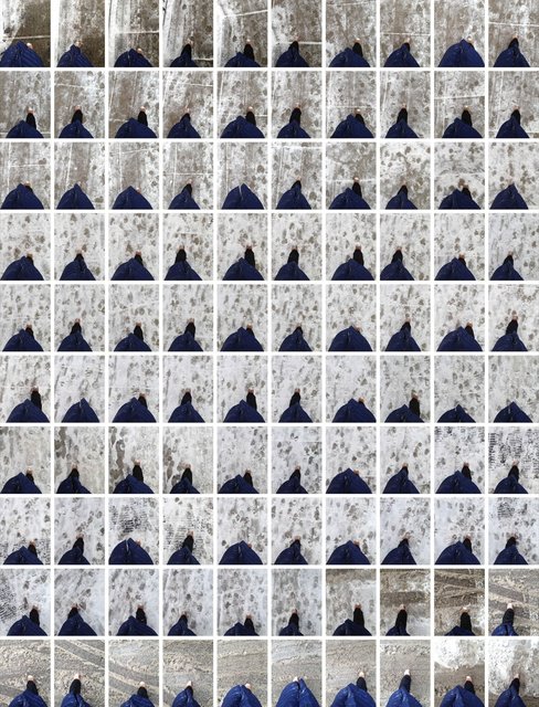
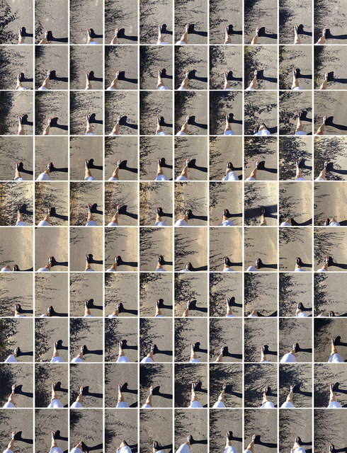
6. Walk 2/5/14 Rush & Chestnut, Snowstorm, Chicago (9:20:32-9:21:41am)
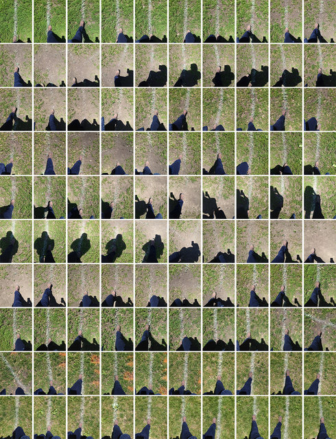
7. Walk 6/28/14 Soccer Practice, Chicago (1:03:38-1:05:23pm)
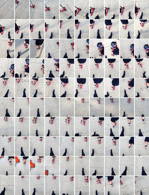
8. Walk 5/28/13 After Lunch with Kristi & Tash, State Street, Chicago (2:17:33-2:19:40pm)
9. Walk 2/7/14 Brooklyn Museum, New York (2:01:03-2:02:00pm)
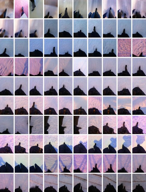
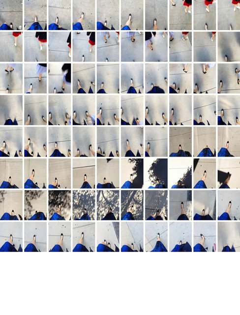
10. Walk 1/20/13 Snowstorm, Tuileries Garden, Paris (5:35:21-5:56:46pm)
11. Walk 2/25/13 Mariano Park, Chicago (2:57:31-2:58:27pm)
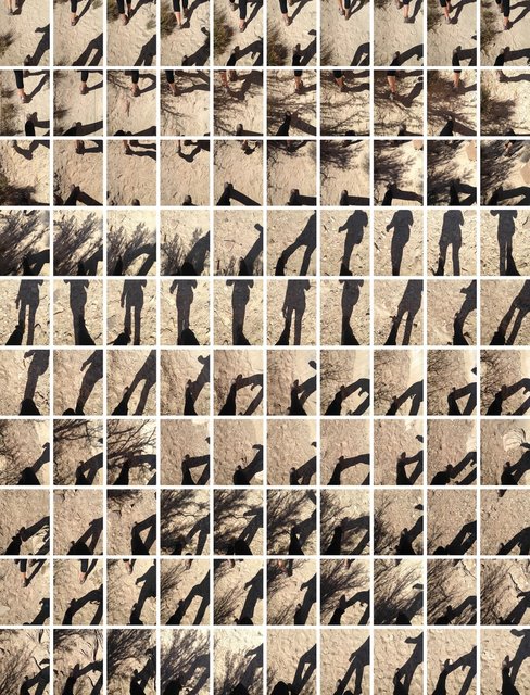
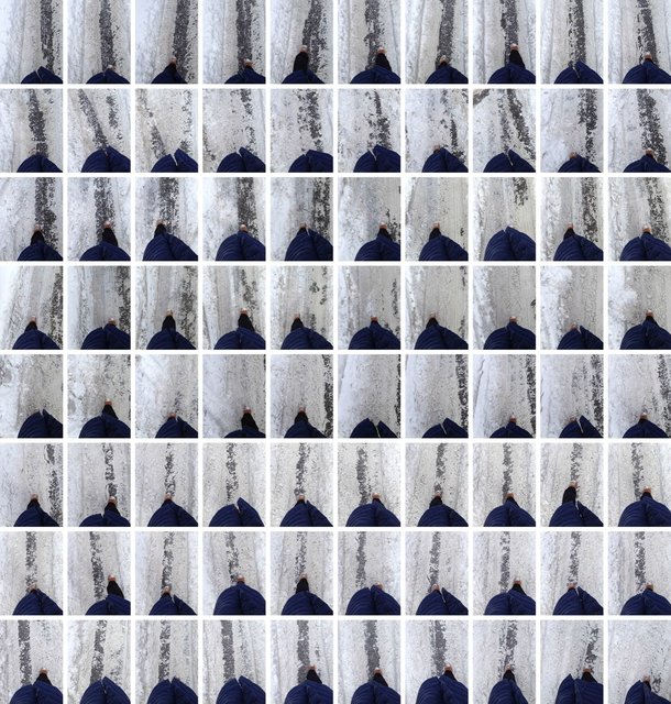
12. Walk 3/12/14 Stud Horse Point, Utah (2:41:16-3:12:34pm)
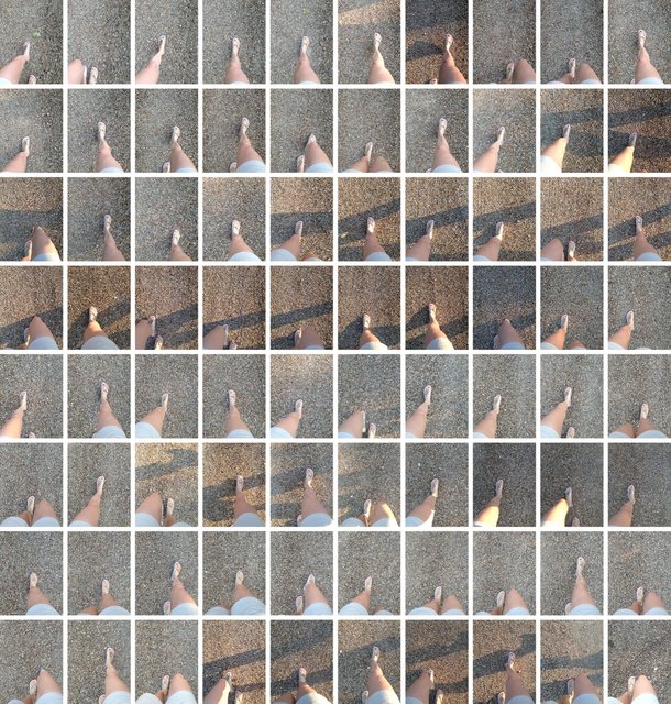
13. Walk 3/28/13 Palm Desert, California (8:25:36-8:26:15am)
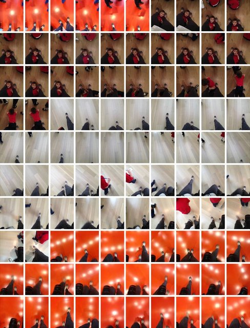
14. Walk 5/23/13 Art Institute of Chicago (11:03:46am-12:15:59pm)
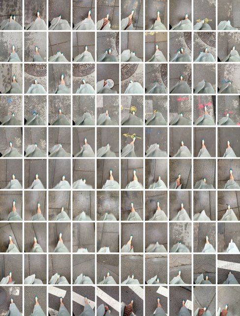
15. Walk 9/22/13 To Church, After Lunch, Chicago (9:19:48-9:23:17am)
16. Walk 2/5/14 Astor Street, Snowstorm, Chicago (9:11:40-9:12:38am)
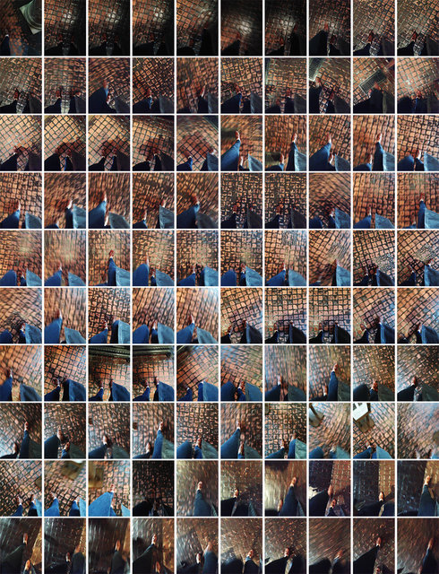
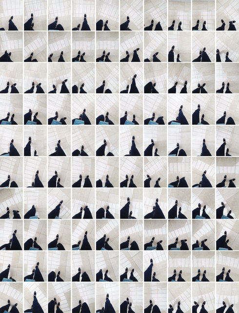
17. Walk 6/14/14 Forbidden Floor 1, Boston (1:12:35-1:16:51pm)
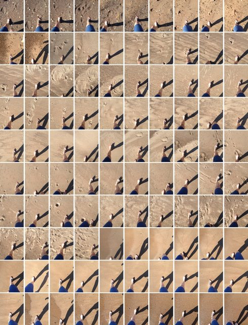
18. Walk 7/24/14 Lake Michigan, Lake Side, Michigan (5:38:09–5:40:05pm)
19. Walk 7/9/13 St. Georges Motel, France (8:23:14-8:25:24pm)
20. Walk 2/25/13 Rush Street, Chicago (2:51:54-2:52:36pm)
21. Walk 7/29/14 Vail Mountain, Vail, Colorado (10:36:29am-10:39:40pm)
22. Walk 5/1/14 After Eloise, NYC, NY (5:06:32-5:07:58pm)
23. Walk 3/23/14 One Allen Center, Houston (12:20:54-12:24:06pm)
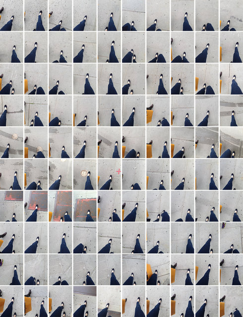
24. Walk 6/15/13 Errands, State Street, Chicago (2:54:24-2:56:04pm)
25. Walk 6/20/14 Mirabel, France (6:12:25-6:13:25pm)
26. Walk 5/3/14 Friend with Orange Bag, NYC, NY (5:08:14-5:11:54pm)
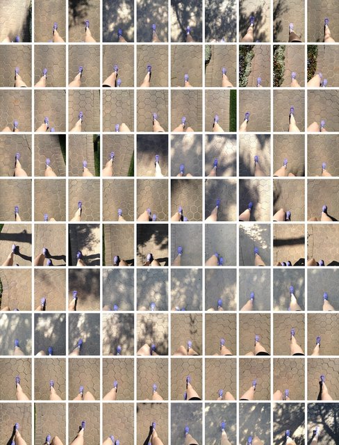
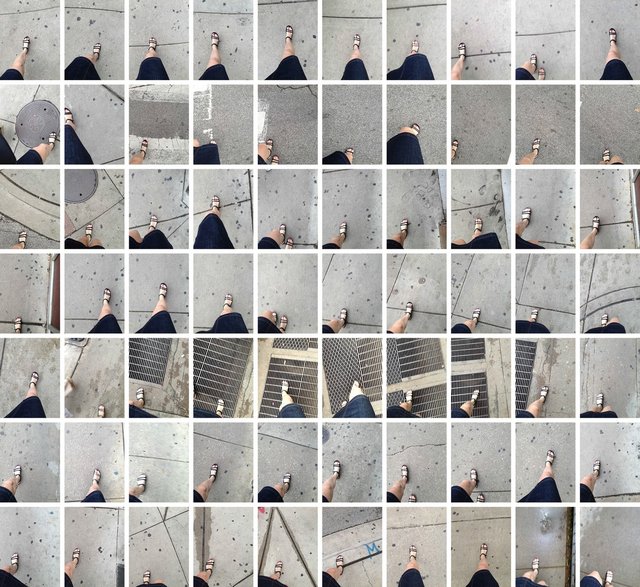
27. Walk 3/28/13 Purple Nikes, California (3:14:51-3:17:05pm)
28. Walk 9/20/13 EXPO, Chicago (1:48:35-2:18:49pm)
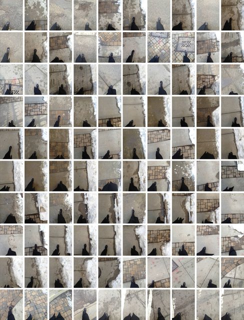
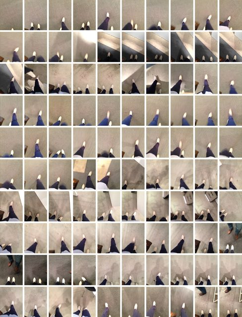
29. Walk 3/23/14 Forbidden Floor 2, Houston (6:35:49-6:40:50pm)